Photography Sage
Your guide to capturing moments and mastering photography skills.
Soaring Perspectives: Why Aerial Photography Will Change How You See the World
Discover how aerial photography transforms your view of the world—unlock stunning perspectives you never knew existed!
The Evolution of Aerial Photography: Changing Perspectives from Ground to Sky
The evolution of aerial photography has transformed our understanding of landscapes and urban environments. Initially, aerial images were captured using hot air balloons and kites in the 19th century, offering a novel perspective that was previously unattainable. As technology progressed, the advent of aircraft in the early 20th century enabled photographers to soar higher, capturing extensive land areas in a single snapshot. This new vantage point revealed patterns and forms in nature and human settlements, prompting a shift in how we perceive our world.
In recent years, the rise of drone photography has further revolutionized the field, democratizing access to aerial perspectives. With the ability to reach heights and angles previously reserved for professionals, enthusiasts now produce stunning images that can be shared instantly online. Drones equipped with advanced cameras allow for intricate detail and unique compositions, enhancing fields like landscape architecture and environmental monitoring. As technology continues to advance, the ways in which we capture and interpret our surroundings will only expand, reshaping the narratives we tell about our environment.

How Aerial Photography Enhances Our Understanding of Geography and Architecture
Aerial photography has revolutionized our comprehension of geography and architecture by providing a unique, bird's-eye view of landscapes and structures. Through high-resolution images captured from drones and aircraft, we can better analyze geographical formations, natural habitats, and urban layouts. This technology allows researchers and urban planners to visualize how geographical features relate to human development, enabling more informed decisions regarding land use and conservation efforts. For more insights, explore the benefits of aerial photography in research.
In architecture, aerial photography serves as a critical tool for understanding the relationship between built environments and their geographical context. It highlights how structures interact with natural landscapes, influences design choices, and showcases the effectiveness of sustainable practices. Moreover, these images can document the historical evolution of cities over time, illustrating changes in architecture and land use. For additional details on the influence of aerial photography on architecture, read more at ArchDaily.
What Can Aerial Photography Reveal About Our Environment That Ground Photography Can't?
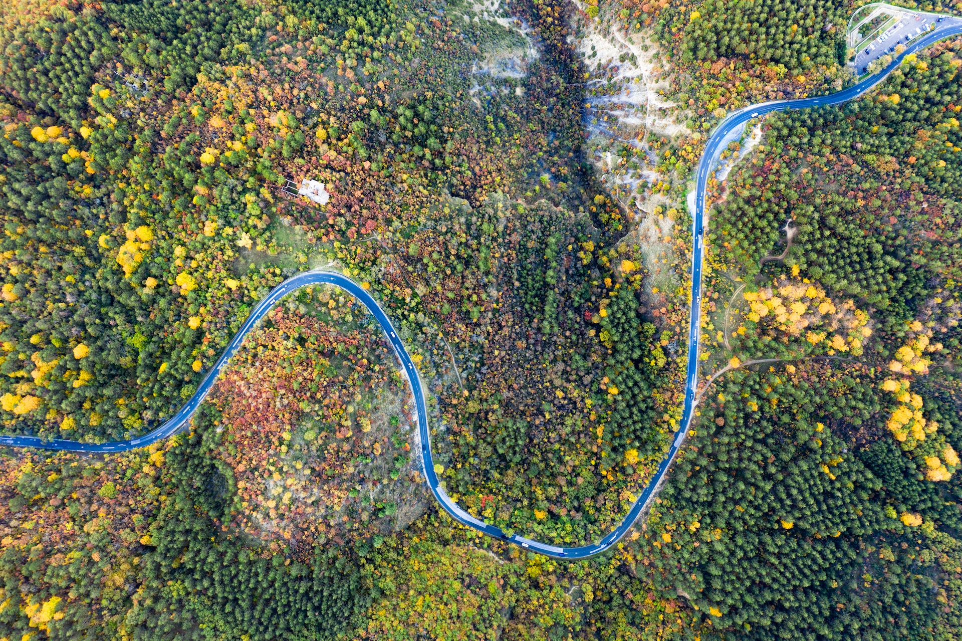
Aerial photography offers a unique perspective that often transcends what traditional ground photography can capture. From elevated vantage points, aerial images can reveal extensive landscapes, offering insights into patterns and structures that are invisible at ground level. For instance, it highlights urban sprawl, the layout of agricultural fields, and the impacts of natural disasters with remarkable clarity. National Geographic discusses how these images can show the gradual changes in our environment over time, which is crucial for understanding climate change and land use planning.
Moreover, aerial photography facilitates the monitoring of ecosystems and wildlife habitats that might be difficult to access. By utilizing drones or aircraft, photographers can capture images of large areas quickly, revealing the health of forests, the migration patterns of animals, and the effects of human activities. This is particularly important for conservation efforts. According to ScienceDirect, aerial imagery enhances ecological assessments and provides a broader context for landscape changes that simple ground photography cannot achieve, making it an indispensable tool for environmental scientists and activists.